
A Land Development Company Rooted in Northwest Washington
Transforming raw land into a thriving community or commercial development takes skill, experience, and a deep understanding of the local landscape.
Janicki General Contracting Specializes in Land Development Projects
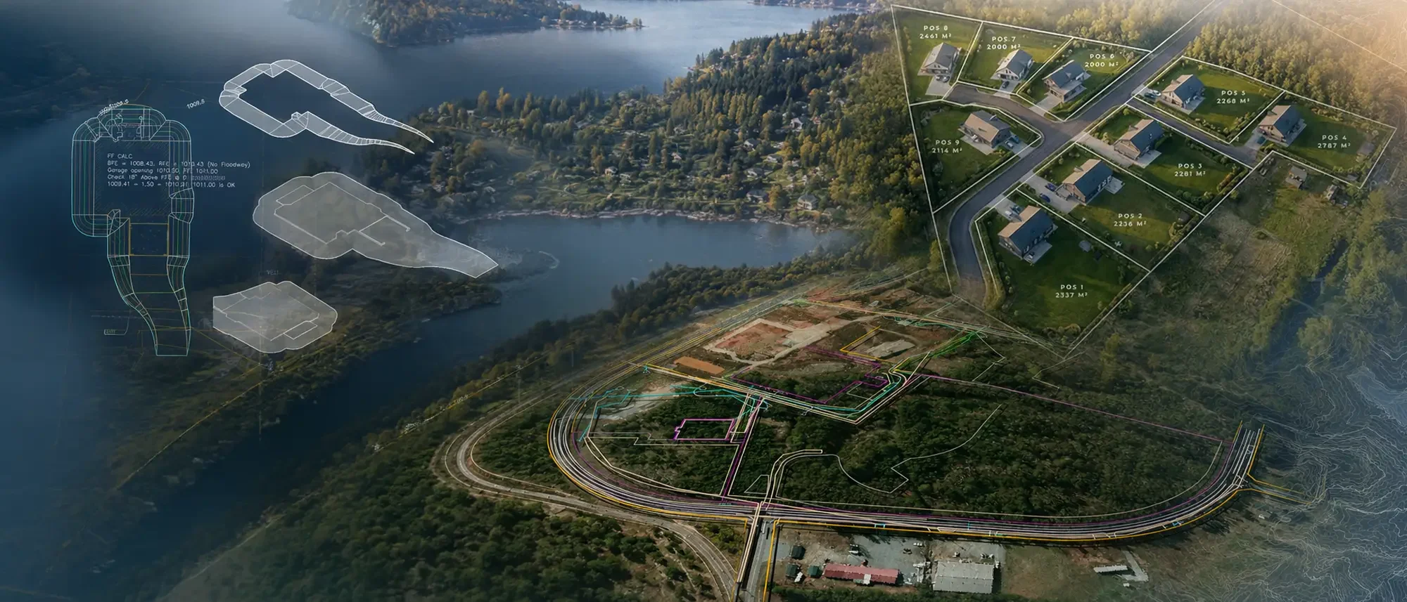
As a land development company in Northwest Washington, we're focused on creating vibrant and sustainable spaces for generations to enjoy. We work alongside land planners, surveyors, engineers, and environmental consultants from the earliest stages, so what gets approved on paper is what actually gets built on the ground. From raw ground to ready-to-build, we handle the full scope: site planning, civil engineering, infrastructure installation, environmental management, wetland mitigation, and regulatory compliance.
Our Land Use Program
Every successful development starts with accurate data and a clear plan. Our Land Use Program brings land planning, mapping, and design under one roof, giving your project reliable information from day one and a smoother path through permitting and construction.
Site Planning & Feasibility
Evaluate site potential with efficient planning and feasibility analysis.
Civil 3D Design & Drafting
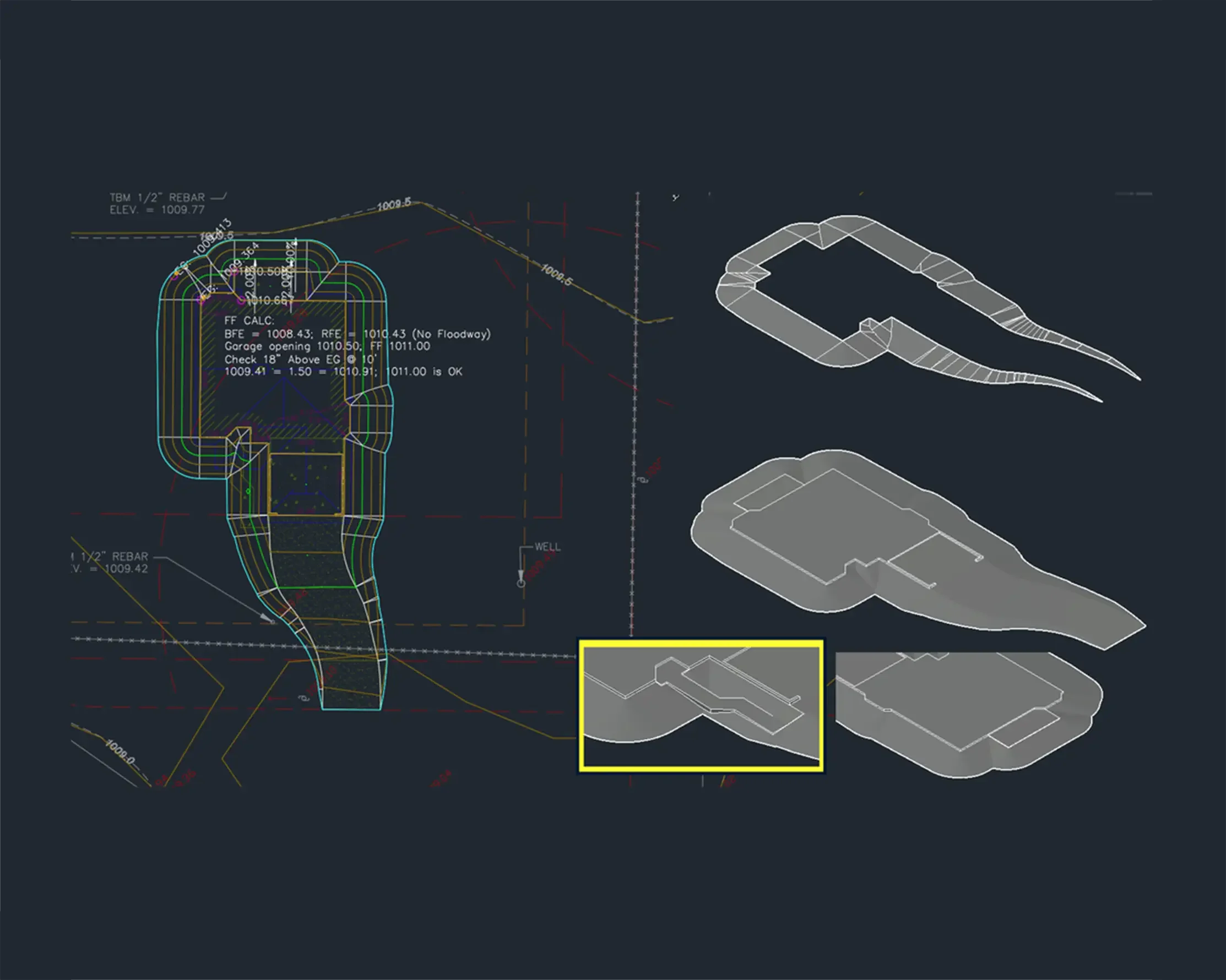
Precise grading, layout, and design using Civil 3D.
GPS & Trimble Equipment
High-accuracy field data collection with industry-leading Trimble technology.
Mapping & Data Analysis
GIS mapping and spatial analysis for informed decision-making.
Drone Services
Aerial data collection for planning, monitoring, and site documentation.
Photogrammetry
High-resolution imagery and 3D models for accurate visualization and measurements.
Forestry & Vegetation Analysis
Inventory, assessment, and mapping to support natural resource management.
Land Use Support
Ongoing support for permitting, documentation, and land use compliance.
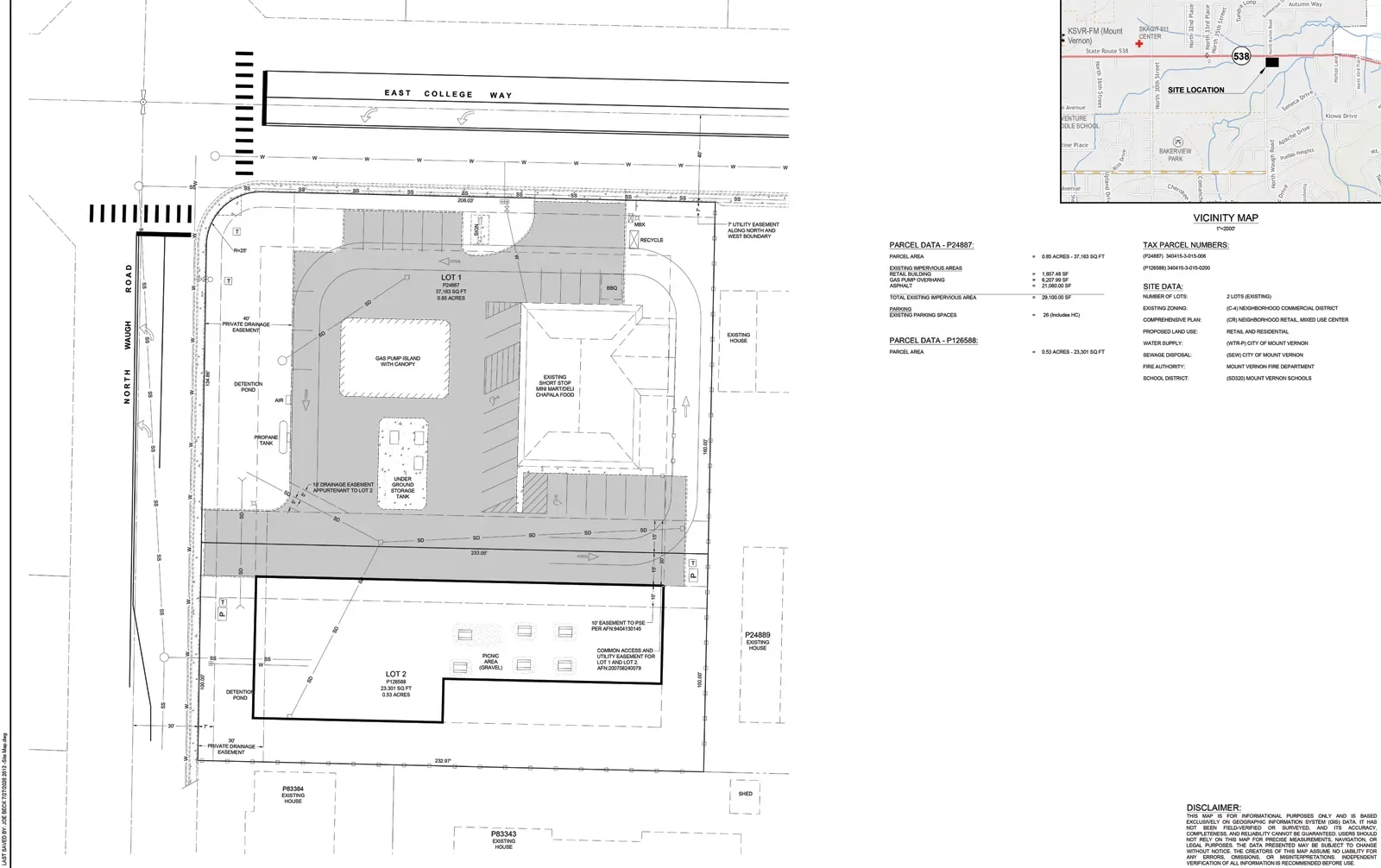
Our Land Development Process
Every project follows a clear, proven path from first conversation to long-term support. Here's how we turn your land use goals into reliable, buildable results.
1. Consult – Listen, evaluate, and understand your project needs.
2. Collect – Accurate field data using GPS, drones, LiDAR, and mapping tools.
3. Design – Detailed designs and modeling using Civil 3D and GIS.
4. Deliver – Designs and data to support planning, permitting, and development.
5. Support – Ongoing support for land use success and project goals.

Why Our Approach for Land Development Matters
Good data and planning do more than keep a project on schedule. They protect your investment and set the stage for a development the community will benefit from for years to come. Our data-driven approach supports smart growth by giving you the information you need to make informed, responsible development decisions. Accurate data and the right planning tools save time, reduce risk, and lower project costs along the way. And by planning today with resilience in mind, we help build stronger, more sustainable communities for tomorrow.
Supporting Smart Growth
Data-driven solutions for informed decisions and responsible development.
Efficient & Cost-Effective
Accurate data and planning tools save time, reduce risk, and lower project costs.
Sustainable Communities
Planning today for resilient communities and a better tomorrow.
Featured Projects
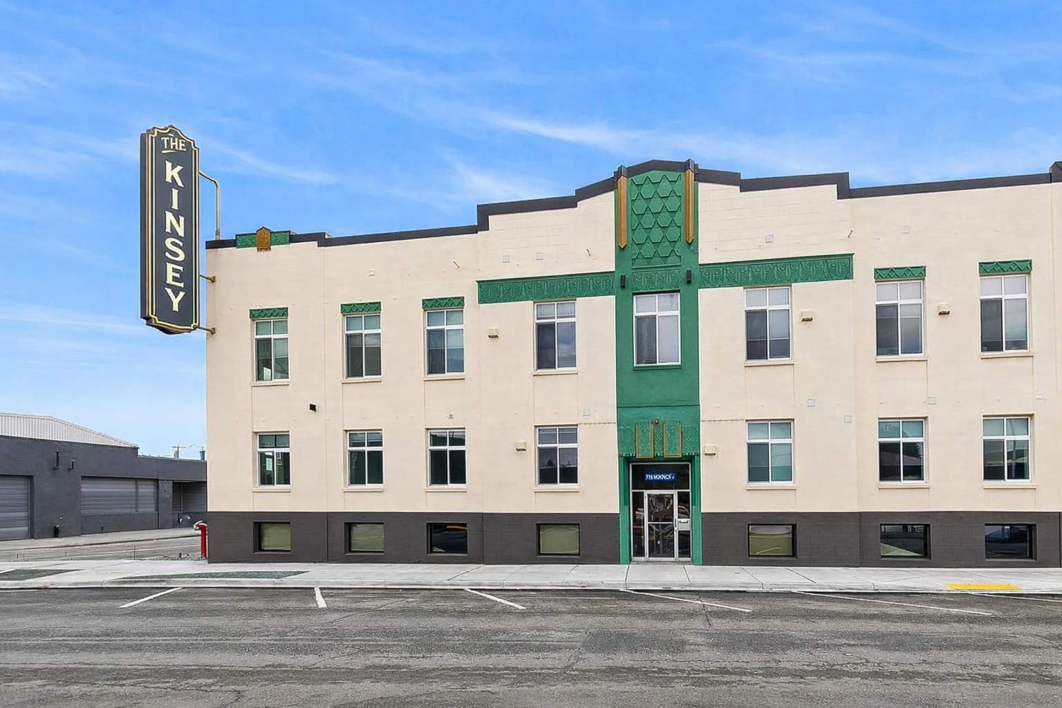
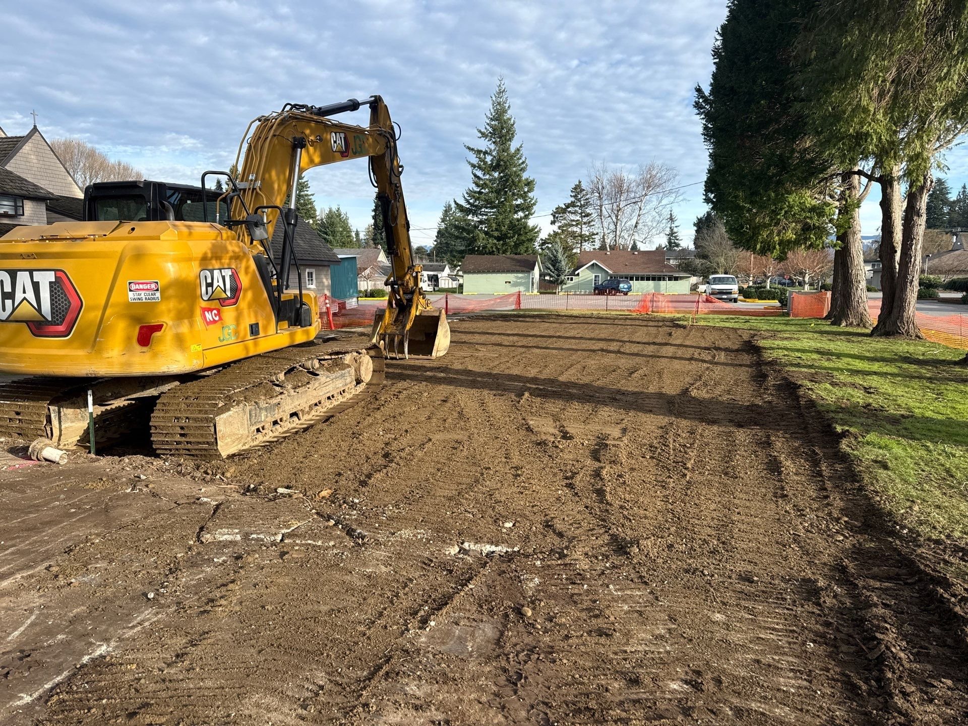
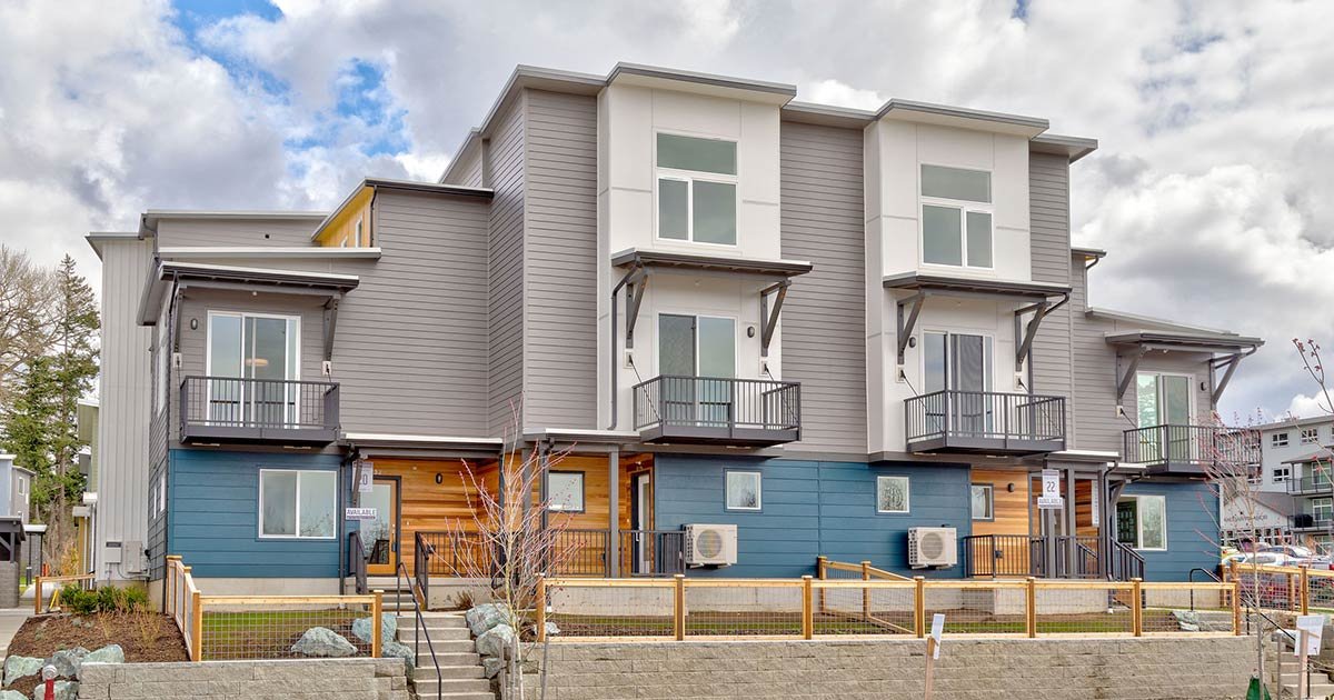
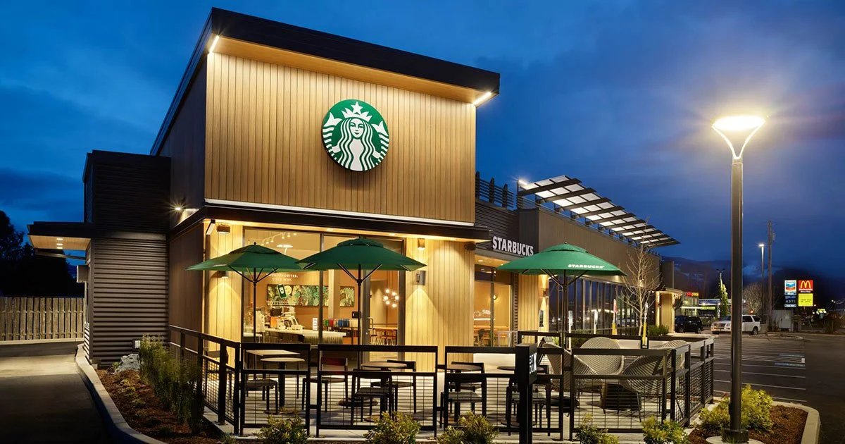
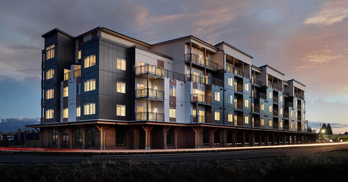
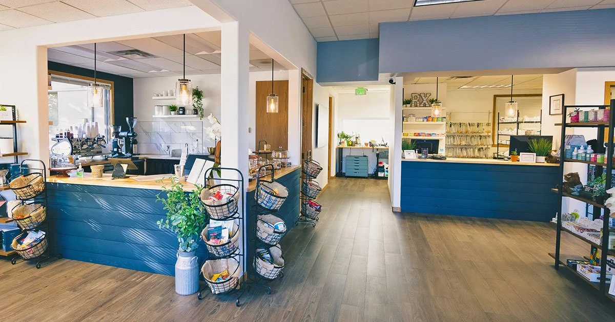
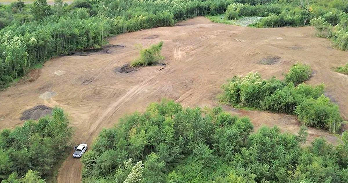
Land Development Company FAQs
-
Inheriting raw land can feel overwhelming — especially when you’re not sure what the land is worth, what it can be used for, or what decisions need to be made first. In Northwest Washington, the most common paths are: hold the land for future appreciation or family use; sell it as-is to a buyer who specializes in raw land; improve it by completing surveys, permitting, and utility connections to increase its value before selling; develop it into a residential subdivision, commercial site, or other use; or lease it for farming, timber harvesting, or recreation if zoning allows.
The right path depends heavily on what the land can actually support — its zoning designation, road access, proximity to utilities, and whether any critical areas such as wetlands, steep slopes, or shoreline buffers affect buildable area. In Northwest Washington, these factors vary significantly by county and parcel, which is why a site-specific feasibility assessment is usually the most valuable first step before committing to any direction. Through Janicki’s Land Development Service, we can evaluate your land’s potential and give you the data you need to make a confident decision.
-
The decision between selling and developing inherited land comes down to three things: what the land can support, what you’re willing to take on, and what the numbers actually show after a realistic assessment.
Selling is the simpler path and often the right one — especially if the land has significant environmental constraints, lacks road access or utility connections, or sits in a location without strong development demand. In Northwest Washington, wetlands, critical area buffers, and shoreline regulations can meaningfully reduce what’s buildable on a given parcel, and those constraints are not always visible from a property description or county record.
Development can produce substantially more value than a raw land sale — but only when the land genuinely supports it. A parcel with good zoning, utility access, buildable area clear of critical areas, and proximity to infrastructure can be worth significantly more as a developed site than as raw ground. The challenge is that most landowners — especially those who’ve inherited rather than purchased — don’t yet know which category their land falls into.
The most reliable way to make this decision in Northwest Washington is to start with a land feasibility study. It gives you the actual data — what’s buildable, what it would cost, what the permitting path looks like, and what the land is realistically worth developed versus as-is — before you commit to either direction. With Janicki’s Land Development Service, we conduct feasibility assessments for landowners across Northwest Washington and can give you a clear picture of your options.
-
A land feasibility study is a detailed assessment of whether a specific piece of land can realistically support the development you have in mind — physically, legally, and financially — before you invest in permits, engineering, or construction. Think of it as due diligence on the land itself: it tells you what’s buildable, what’s restricted, what infrastructure will cost, and whether the development you’re considering makes financial sense given the site’s actual conditions.
A typical feasibility study examines zoning and allowable uses, road access and utility availability, critical areas including wetlands, steep slopes, and floodplains, title and easement issues, permitting requirements and likely timelines, and rough cost estimates for site preparation and infrastructure.
In Northwest Washington specifically, feasibility studies are particularly important because the region has a high prevalence of wetlands, shoreline buffers, and environmentally sensitive areas that don’t always appear on a standard parcel map. A site that looks straightforward on paper can have significant buildable area constraints once critical areas are mapped accurately. Conversely, a site that looks complicated can sometimes be more developable than expected once the right data is collected.
With Janicki’s Land Development Service, we conduct site feasibility assessments using GPS and Trimble field equipment, drone and photogrammetry services, GIS mapping, and Civil 3D design — giving landowners accurate, ground-truthed data rather than assumptions. For anyone who has inherited raw land in Northwest Washington and is weighing their options, a feasibility study is typically the most valuable first investment before any other decision is made.
-
Janicki transforms raw land into ready-to-build sites for residential communities and commercial developments, managing planning, engineering, and infrastructure.
-
The team partners with land planners, surveyors, engineers, and environmental consultants to ensure designs that are approved on paper can be built successfully on site.
-
Janicki is a deeply experienced land development company and oversees environmental management, wetland mitigation, and regulatory compliance so projects meet local and state standards while remaining buildable and sustainable.
-
Janicki's Land Use Program uses GPS and Trimble equipment, drone and photogrammetry services, and Civil 3D and GIS software to collect accurate field data and translate it into reliable designs, reducing risk and speeding up approvals.
-
Yes, Janicki is both a land development company and a general contractor. We can take a site from raw ground through land development and into vertical construction, providing a single accountable team across the full project lifecycle.